By Lucy Caulkett-
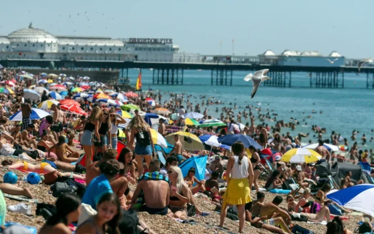
The UK faces a mini-heatwave from next week, with above normal temperatures steadily climbing to as high as 22C or 23C in the south later in the month, meteorologists predict.
Temperatures are set to turn warmer over the next few days as high pressure sweeps across the UK, with temperatures of up to 21C in southern England on Thursday and about 17C as far north as Aberdeen in Scotland.
Temperatures will drop slightly on Friday, although they could reach 20C in southern and eastern England with the weekend set to be dry and warm as high pressure dominates.
By midweek, there is the potential for very warm weather in the south, possibly nudging into the mid-20Cs.
The Met Office forecast is for widespread settled weather next week, with any rain confined to western and northern areas: “Temperatures are likely to rise above average through the first few days, except nearer to the coast and perhaps the far north, which may see slightly cooler conditions, and it is expected to become warm, perhaps very warm, later in the period.”
More unsettled conditions bringing spells of rain or showers will be expected in the second week of May.
“Drier spells are also likely, particularly in the south, as is typical for late spring. Temperatures will continue to be above average, especially in the south where it could be very warm early in the period. Further north a return to near normal conditions is possible later in the month,” said the Met Office.
Temperatures are “several degrees above where they should be at this time of year”, according to Marco Petagna at the Met Office.
The UK’s hottest day so far this year was Good Friday, when 23.4C (74F) was recorded in St James’s Park in central London.


